|
|
- - - 2012 Hurricane Season - - -
|
- Are you kidding???
|
- From: Pam Taylor <ptponcepr at hotmail.com>
- Date: Sun, 28 Oct 2012 17:59:52 +0000
|
|
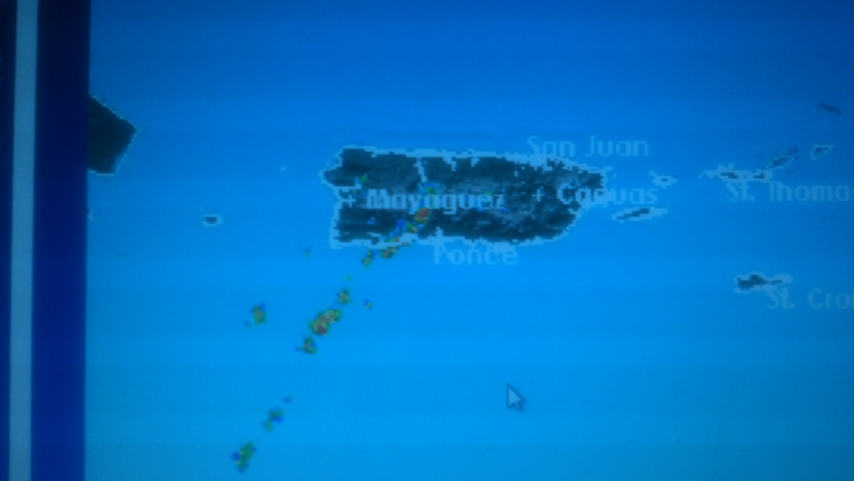
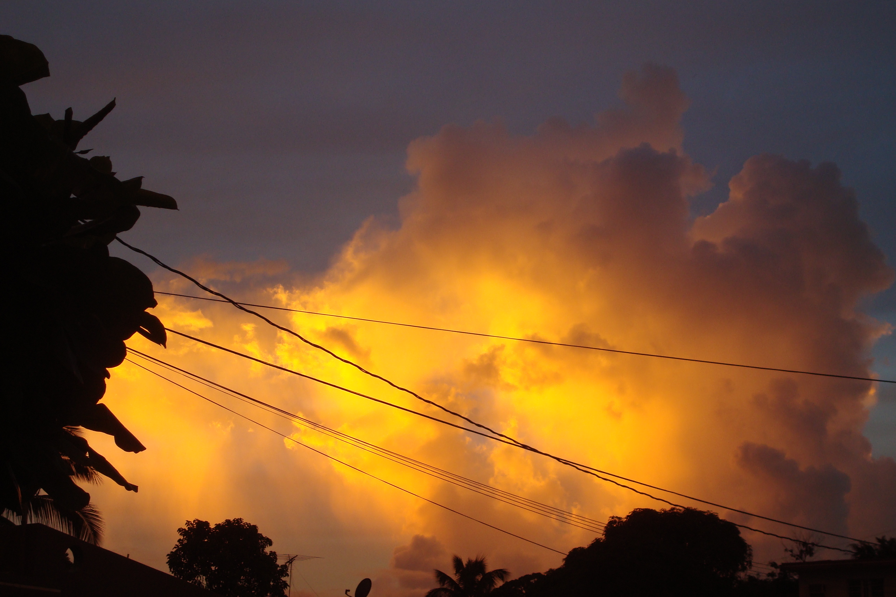
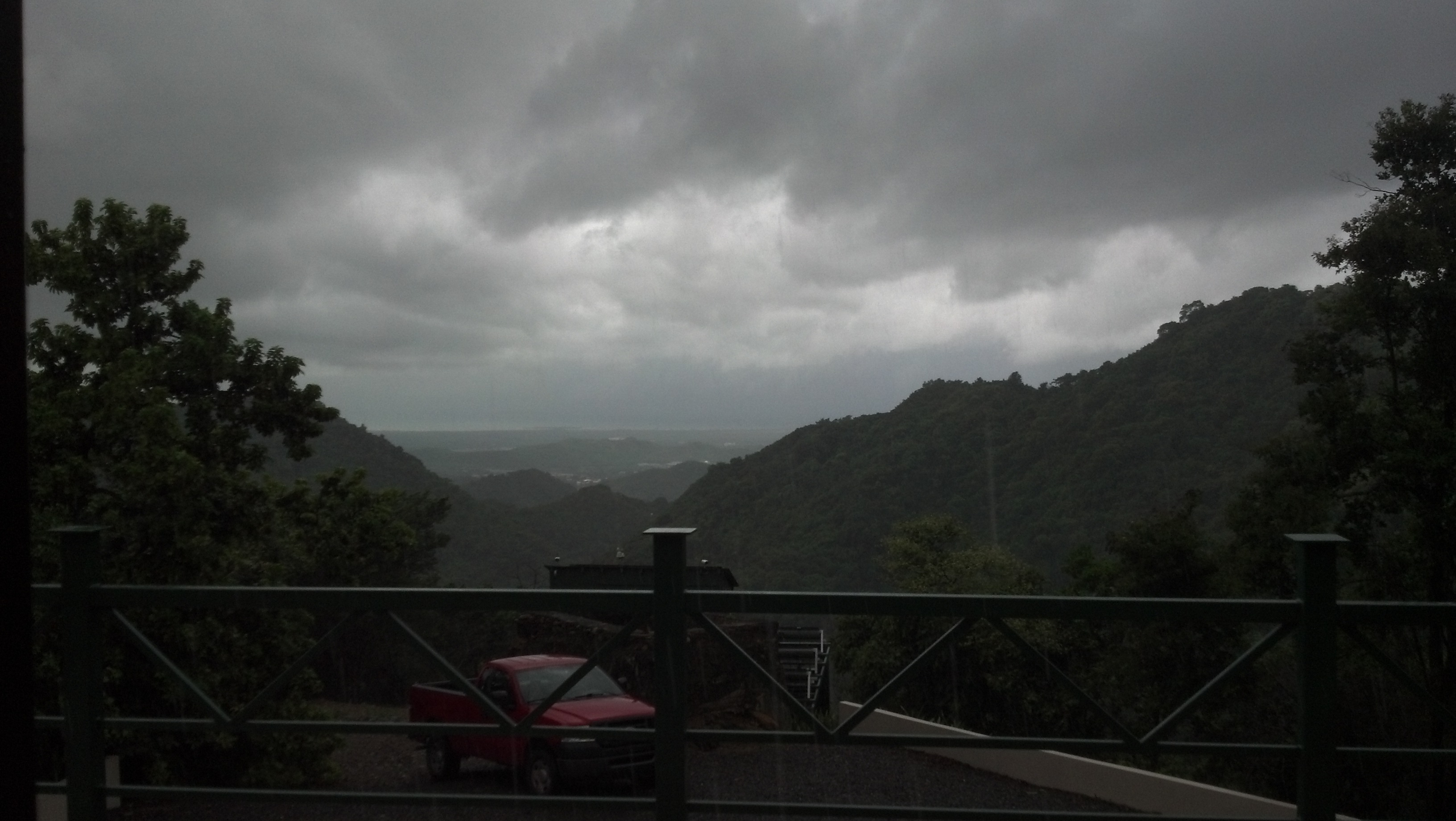
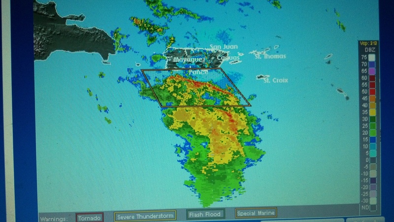
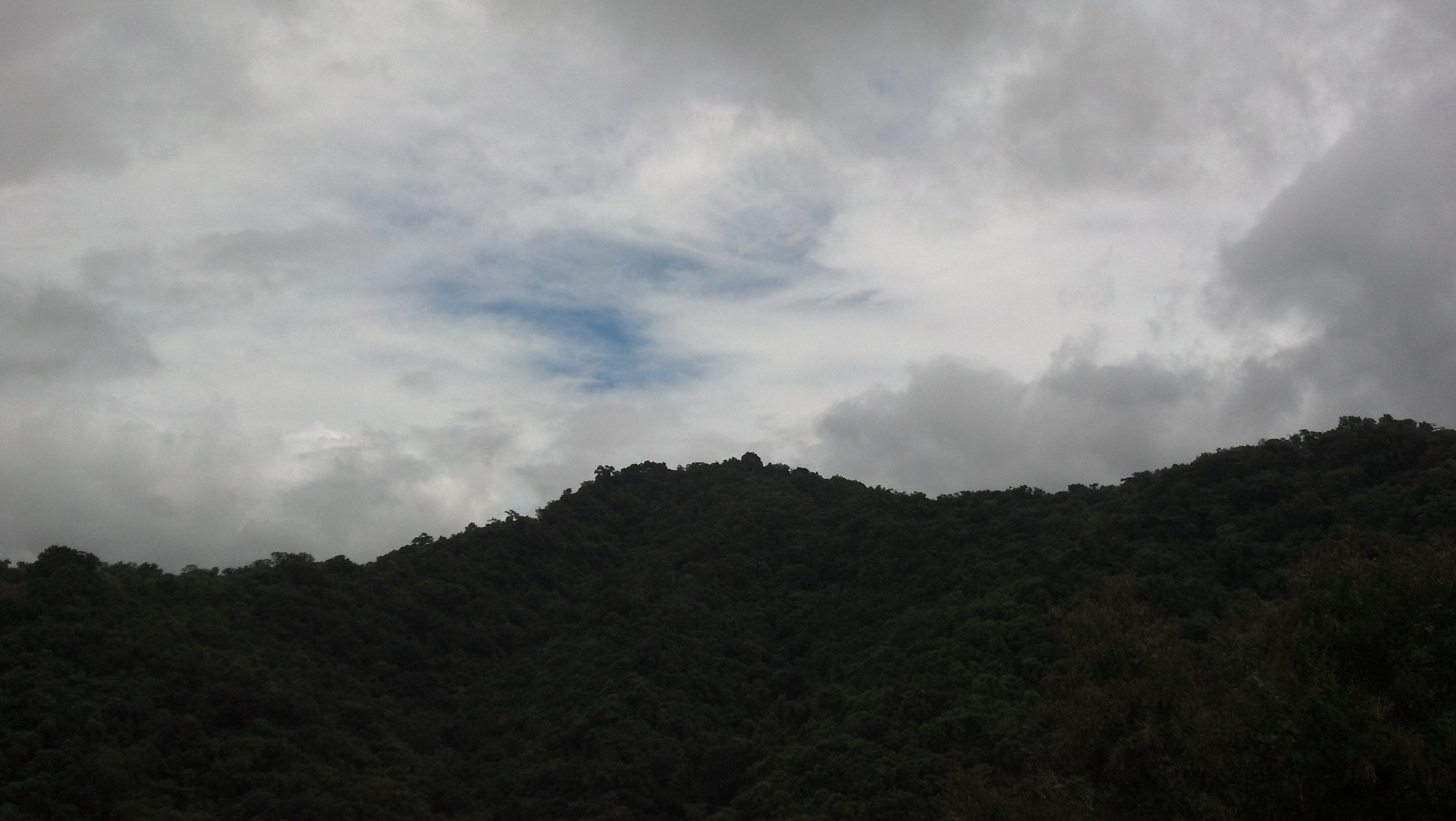
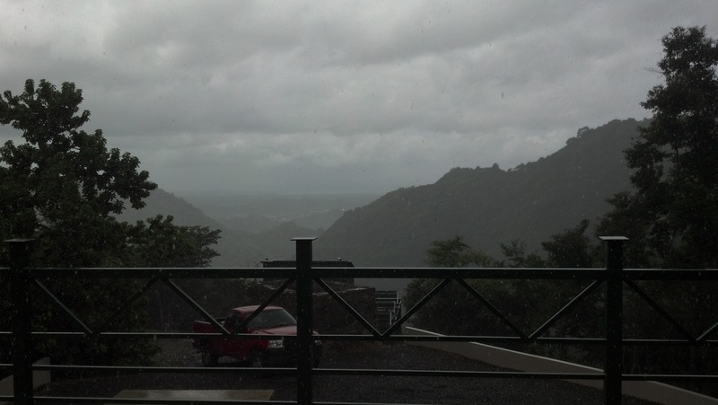
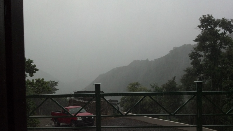
I was hoping to wake up to a nice sunny blue puertorican sky this morning....NOT! We've accumulated a few more inches of rain overnight and today...it is currently thundering really loud and giant bolts of lightening! Funny...I could have sworn I saw a large clearing on the visable Atlantic loop....hmmm....so take a look at the local dopplar radar!! You've got to be kidding...there is only one skinny red and yellow line of really awful weather...and its right over Ponce!! Very strange...there it goes...rumbling away! Peak wind speed in the past 24 hours is 14mph, tempature currently 76F, humidity at 98% and steady...this month's rainfall total is 12.48 inches [here in the hills above Ponce, and I image more behind me, as I am on the cusp of the mountians] and the forcast on my little weather machine is sunny??? Well, that gives us some hope. We'll see.....
We really need a few sunny days to dry out.....PLEASE!!!
Stay safe, and dry....
Pam
|
Attachment:
2012-10-28_08-00-36_975.jpg
Description: JPEG image
Attachment:
2012-10-28_13-45-07_398.jpg
Description: JPEG image
|
|
- Hurricane Sandy......
|
- From: Pam Taylor <ptponcepr at hotmail.com>
- Date: Sat, 27 Oct 2012 12:53:00 +0000
|
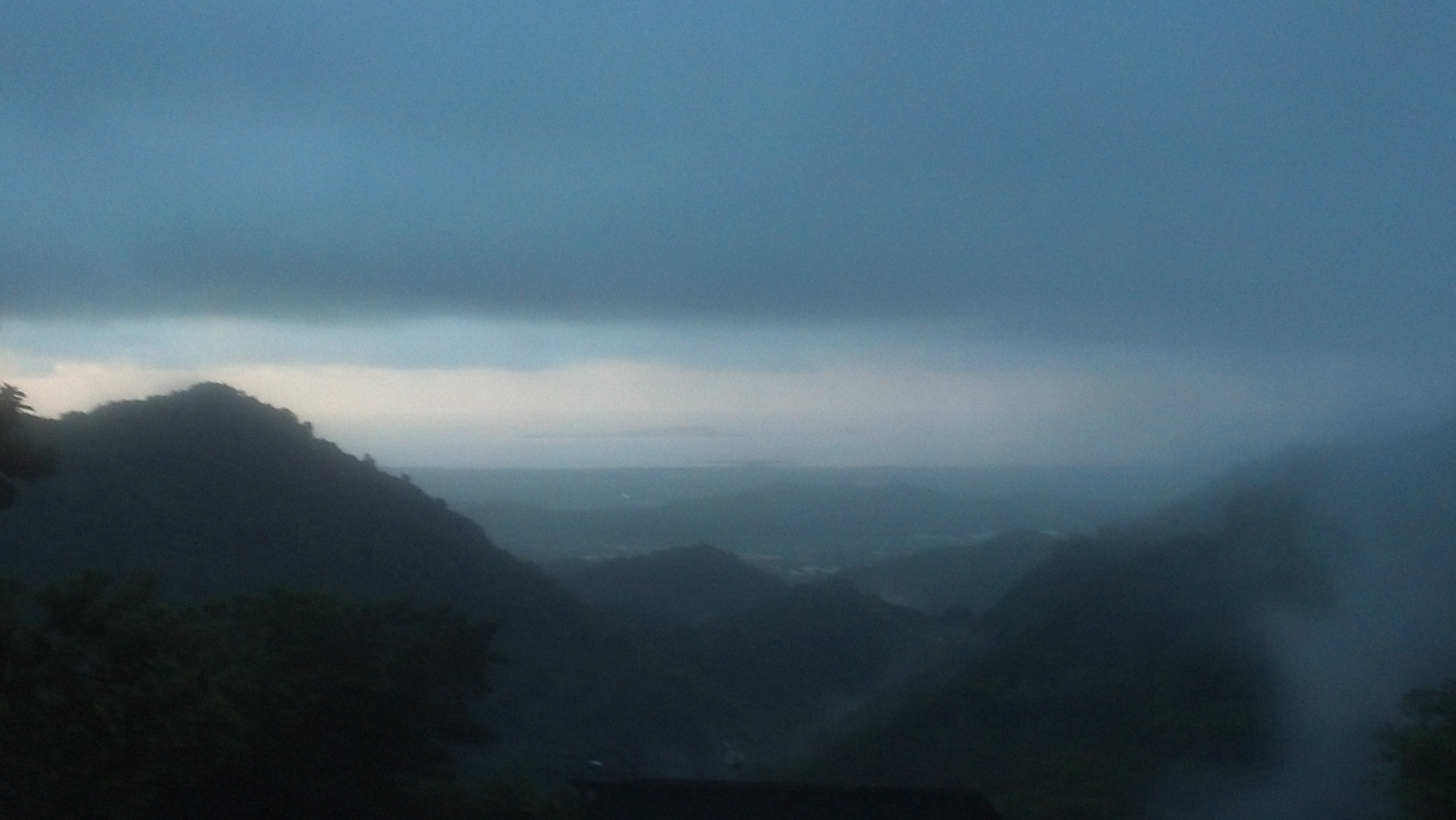
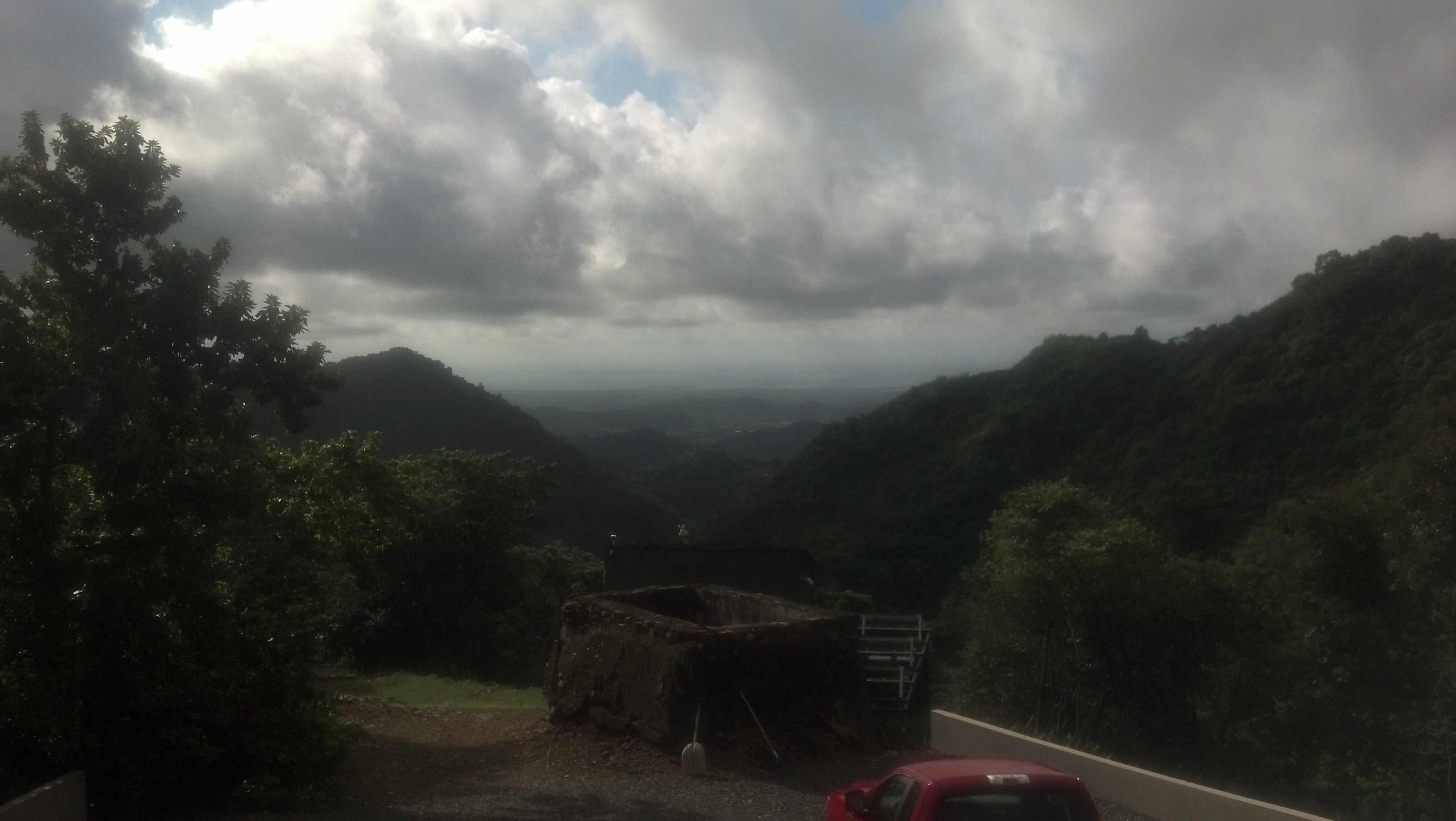
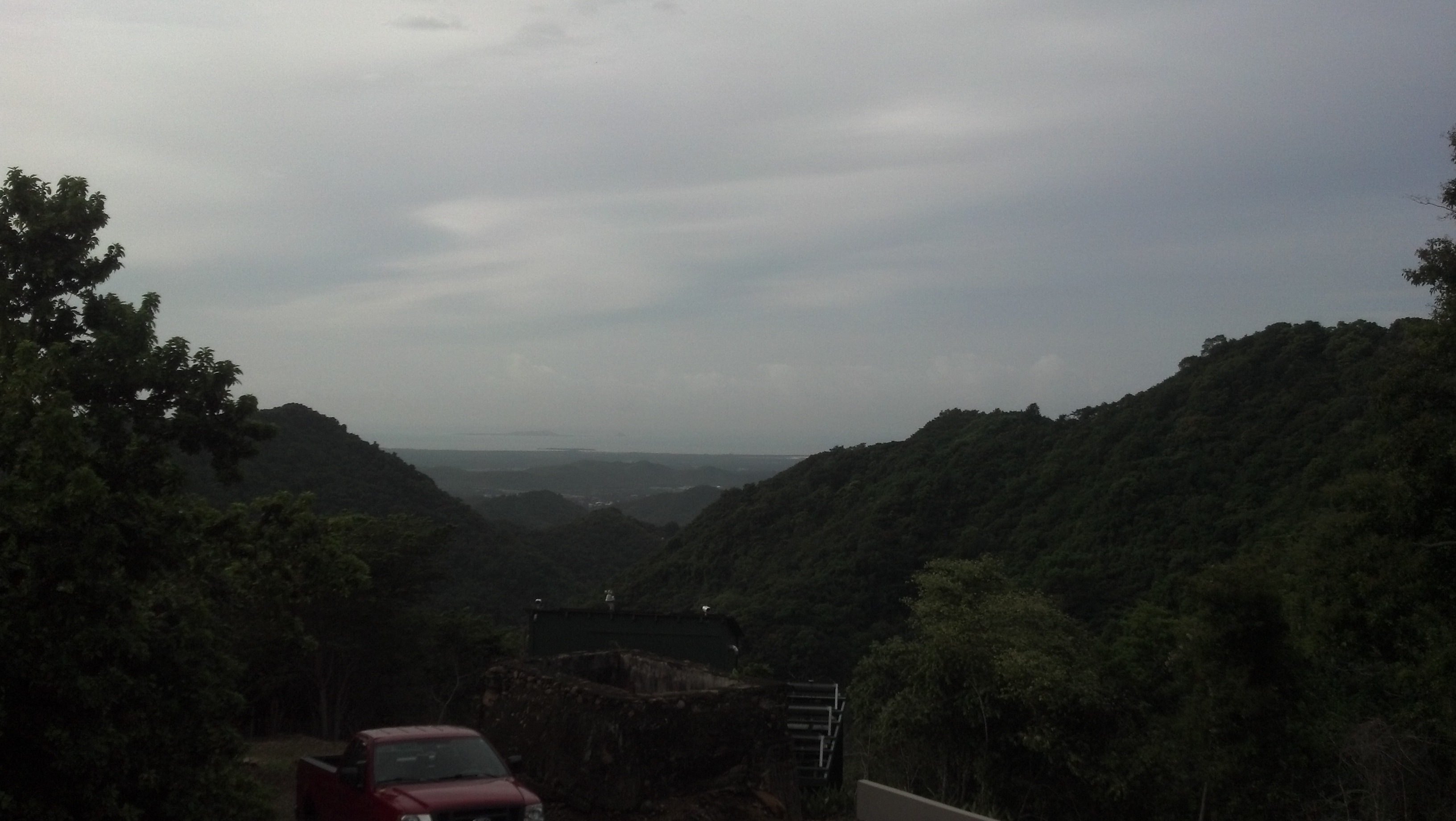
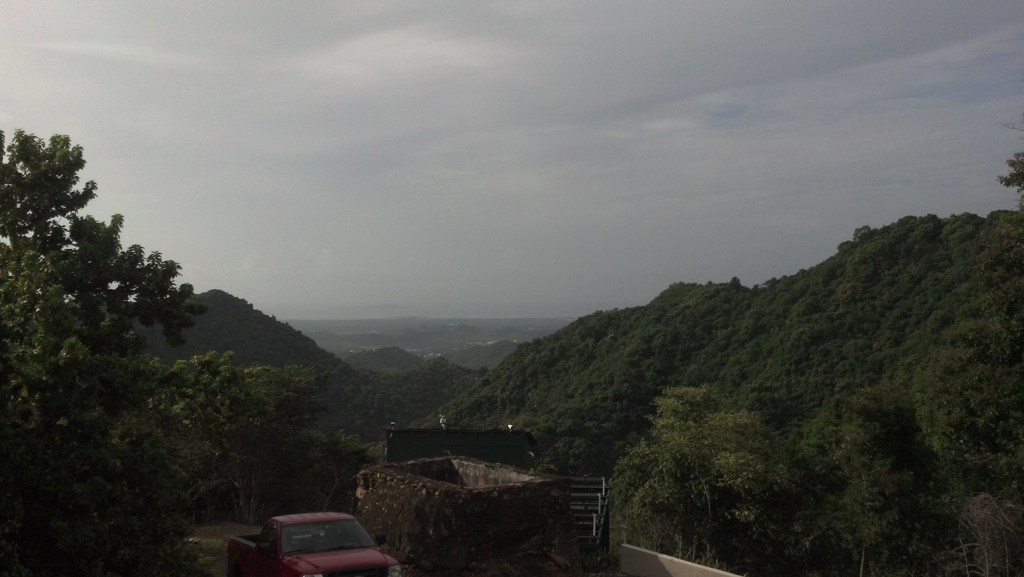
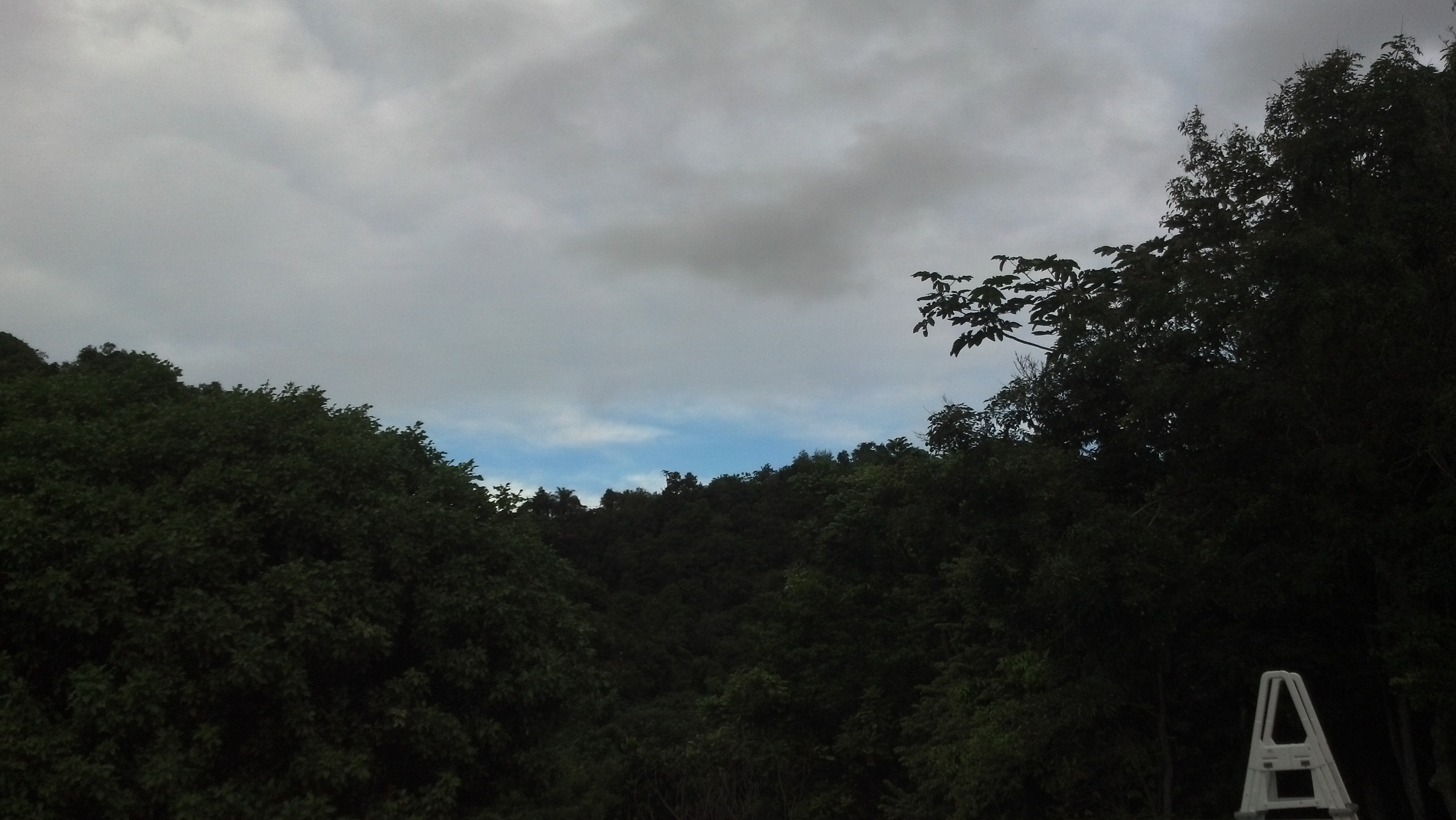
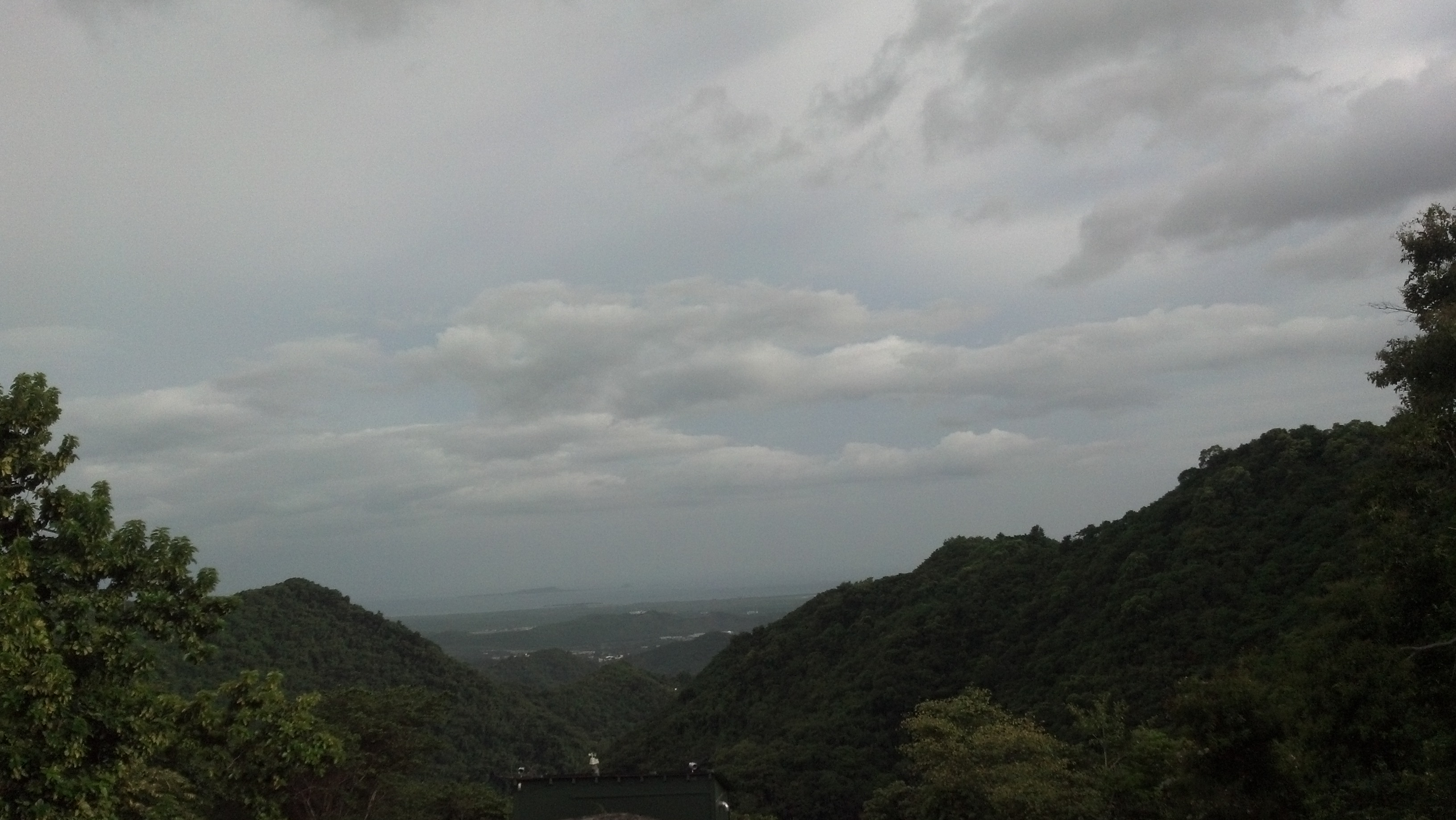
Ponce didn't even come close to a direct hit from Sandy...but we sure did get side swiped here in the hills with the outter bands of rain [rain, rain, rain]. It's been raining pretty steadily for the past three days here in the hills above Ponce with only a few pokes of sunshine here and there. Rain has accumulated to over 11 inches this month and the little tributaries that run across our property have been flowing like rivers!! Wind, torrential rain, thunder and lightening a few nights ago...rainy and windy yesterday. Am glad to finally be able to see down into Ponce this morning a bit. The clouds were floating by early, cleared out a bit toward south over the ocean, and now we are getting black clouds from the southwest and the winds have picked back up...[hopefully moving the bad weather to the north of us]...and the suns out [a BIG plus] to dry things out and re-charge the solar batteries!  We missed most of the biggies this season...so far... Stay safe, Pam |
Attachment:
12-10.27 614AM.jpg
Description: JPEG image
Attachment:
12-10.27636AM2.jpg
Description: JPEG image
Attachment:
12-10.27 835AM.jpg
Description: JPEG image
|
|
- The Rain Stop !
|
- From: "Hector L. Matos" <matrix at coqui.net>
- Date: Fri, 26 Oct 2012 10:40:30 -0400
|
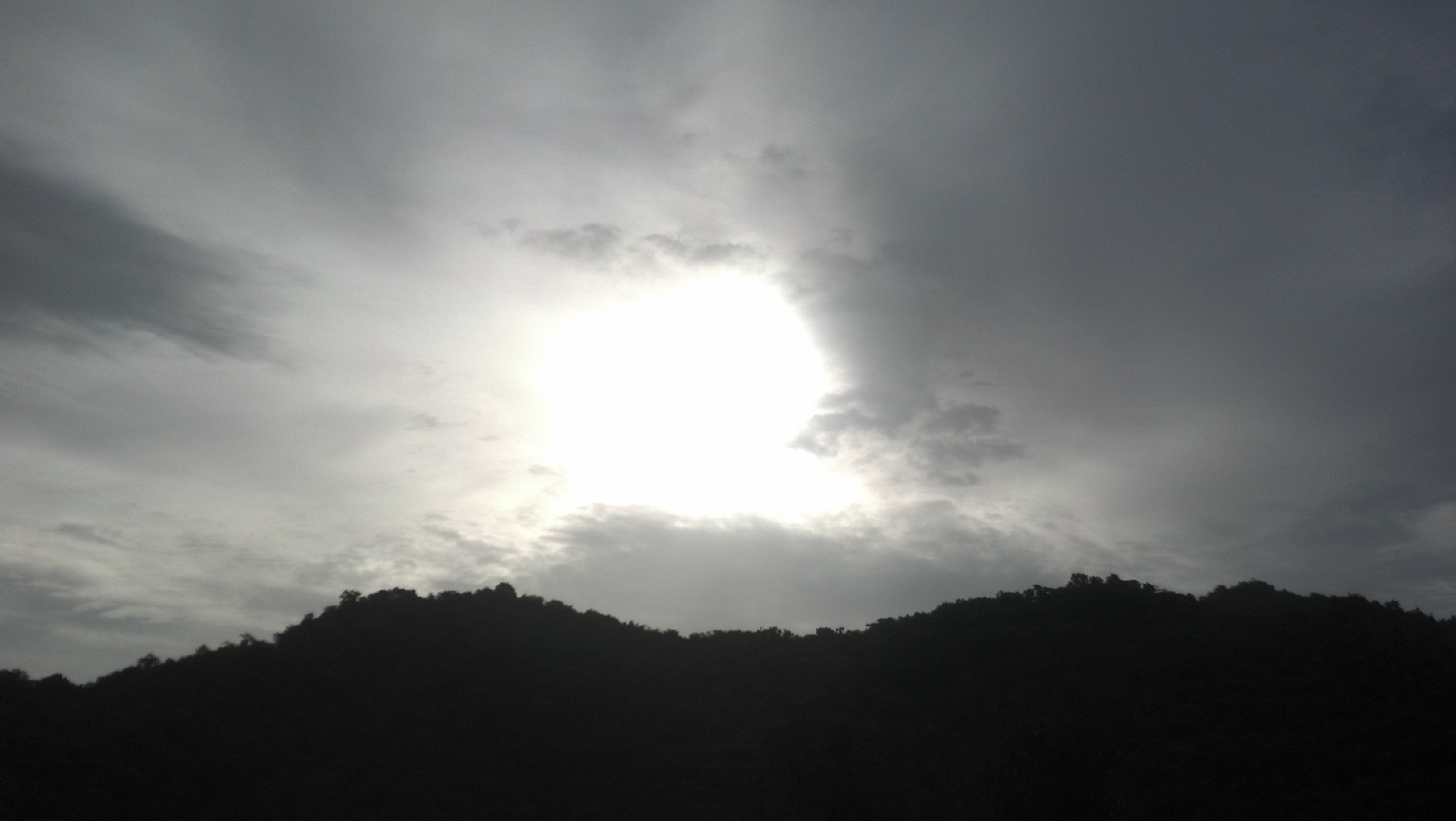
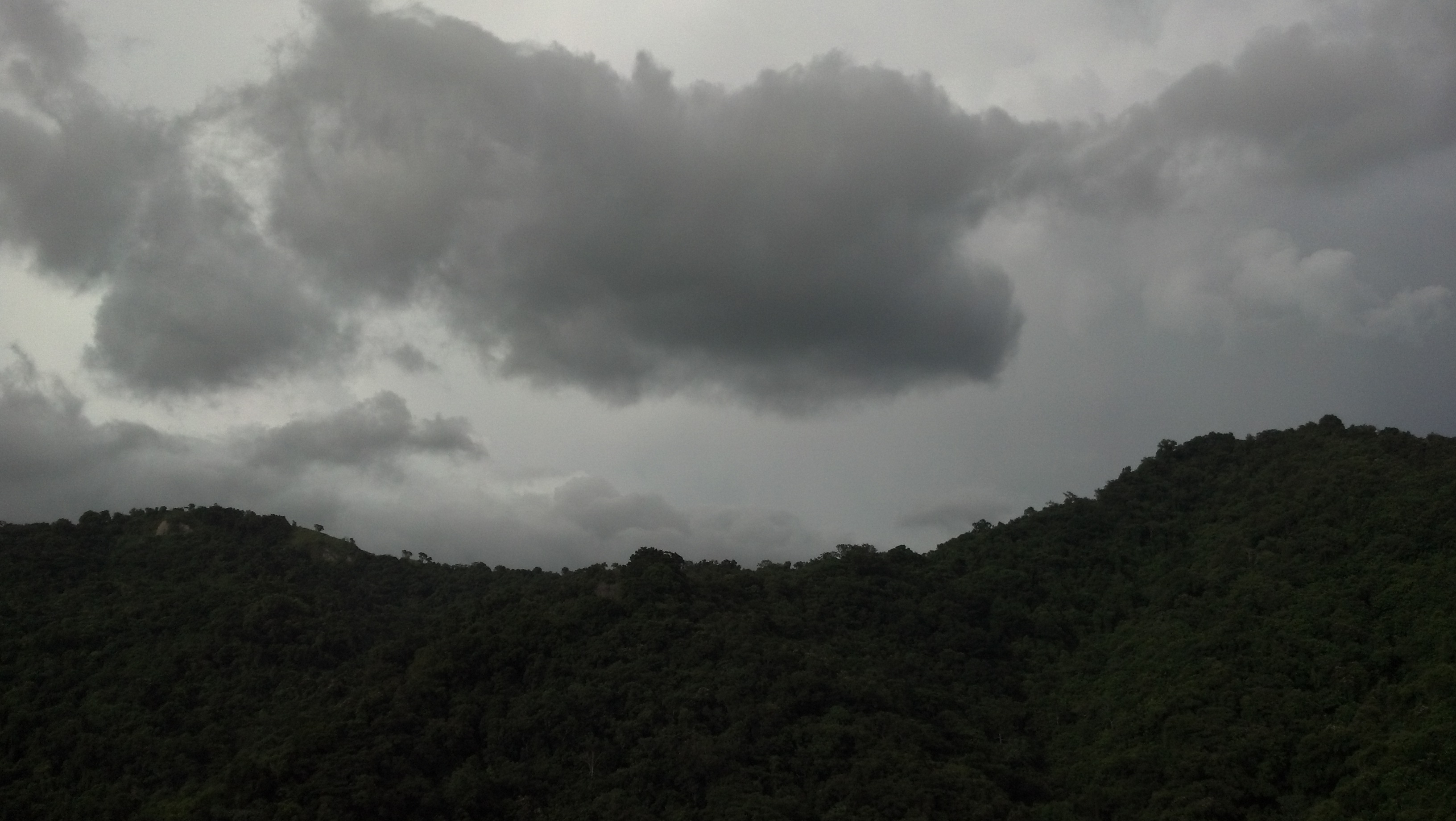
Well… Now the rain stop here… but the sky look cloudy. Sandy is go away far of Bahamas. “Before the Storm…. The sun shine”… It’s that we like. Happy Good Day. Héctor |
Attachment:
20121026_100506.jpg
Description: JPEG image
|
|
- RAINING ALL THE NIGHT!
|
- From: "Hector L. Matos" <matrix at coqui.net>
- Date: Fri, 26 Oct 2012 06:12:12 -0400
|
Hello Folks! In Caguas, was raining all the night. I caught 2.17 “of water in 24 hours. The temperature here is 76.3° F, the humidity 99%. Now is slow raining. The Thunder was all night too. The service of electricity and city water run good. The wind was, between 0.0 to 3.8, and gust of 6.0. The tail of Sandy, it’s with us since yesterday. The forecast for Friday , Saturday and Sunday is rain. I hope the rain finish soon, I am in vacation, and I have to do something work in my house. Well…. I hope that our brothers in Bahamas don’t haves much problem with Sandy (80 mph winds). Regards, Héctor |
|
|
- Sandy, Sandy, Sandy....
|
- From: Jack Hunter <wb7adc at onelinkpr.net>
- Date: Mon, 22 Oct 2012 20:44:02 -0400
|
Sandy, Sandy, Sandy, what is to become of you? Sitting there in the SW
Caribbean, hardly moving. Are you going to go gently into the night and
pass quickly over Jamaica, Cuba, The Bahamas, and then out to sea and
not bother anyone too much. Or, are you contemplating moving like your
long lost cousin LENNY and cause trouble and sorrow in Haiti, The
Dominican Republic, and Puerto Rico. 'Tis a storm that we in the
Northern Antilles will be keeping an eye on.
Jack
N Coast of PR
|
|
- Update
|
- From: "vernon00738" <vernon00738 at libertypr.net>
- Date: Fri, 19 Oct 2012 09:52:24 -0400
|
|
We are now getting the rain...... Hurricane season almost
over and we are lucky again.
Vernon in Fajardo PR
|
|
|
- San Juan Partially Cloud
|
- From: Francisco Echegaray <fechegaray at hotmail.com>
- Date: Sat, 13 Oct 2012 17:40:00 -0400
|
Hi everyone: Today we woke-up to a beautiful sunny day here in Rio Piedras, San Juan. But we have had some clouds passing by and some ocassional light rain through the morning. Really very little rain. Now at 5:30 the sky is cloudy but there is no rain. The temperatue has been hot in the low nineties . The people and the gov. are all paying attention to the weather reports as we are in Tropical Storm Watch status. In general just another normal day weather wise. My prayers for the best to our friends in the Leeward Islands. Please take care, and stay safe. Francisco
|
|
|
- Rafeal....
|
- From: Pam Taylor <ptponcepr at hotmail.com>
- Date: Sat, 13 Oct 2012 18:33:33 +0000
|
|
Well, Ponce has escaped the Hurrican Season unscathed, so far...and I have not had to write any updates. I am currently in St. John visiting with my new grandson, Tenzin Phoenix, as Rafeal SLOWLY approaches....and I mean slowly! NHC track looks like its coming right over us here on St. John...and I see Puerto Rico is under a TS watch...hopefully, Rafeal will stay on its northward track and not knock too far to the northwest. My little slime green and sky blue parakeets are on the front porch, cage secured with bungies to keep it from getting knocked around...and surrounded by walls so they won't get the thrashing...will be back Ponce soon [weather permitting] to assess the damage to the farm road and old terminte infested trees....after nature does the pruning for us. Hopefully the avocados will still be on the trees...along with some of the guavas. Yum!
SC has its St. John reporters so they will be doing the St. John reports, and I will keep a quiet eye via security cameras on the Ponce portion of the storm...but right now its looking sunny and quiet there and I can see my birds on the porch....will keep you updated if anything arises on the cameras.
Buckle down my VI friends, and...
Stay safe.
Pam
|
|
|
- Bright afternoon
|
- From: Margie <margie2117 at aol.com>
- Date: Fri, 28 Sep 2012 13:46:00 -0400 (EDT)
|
Hi there,
It's is beautiful afternoon. The temperature now is 89° and a heat index of 98°..yes it feels very hot! Some scattered showers and thunderstorms are expected for later on with a 50%. chance of precipitation. (I would definitely go for that) This east coast has been lately kind of dry compared to the west side of the island, where the residents there experience heavy showers every late afternoon. Wishing everyone a wonderful day...keep safe!
Margie
|
|
- Calm and warm evening
|
- From: Margie <margie2117 at aol.com>
- Date: Mon, 24 Sep 2012 23:57:09 -0400 (EDT)
|
Good Evening,
While outside this evening I tried to see if at least a small rain
cloud would sprinkle the east coast of the island, well at least where I
am located but no...that sure wasn't the scene. I did capture some clouds just drifting away while the moon was peeking through. I guess it will be another warm evening, although temperature now is 76° but humidity of 88% is surely felt. Everyone is looking forward for the end of the week when we might have some precipitation, hopefully, this way we can cool off a bit. Meanwhile my fan will keep on spinning on it's highest speed while I wait for a chance of rain.
Have a peaceful & safe evening!!
Margie
|
|
- Had to share this
|
- From: Margie <margie2117 at aol.com>
- Date: Mon, 17 Sep 2012 21:10:21 -0400 (EDT)
|
|
Good evening,
I did post this afternoon but honestly I had to return to share these pictures from today's sunset. At one point towards the west, clouds with an orange color. Then towards the east of the island I spotted a rainbow forming. It sure was a very nice scene to enjoy outdoors. Temperature now is 77.54° F, humidity 87% with scattered clouds & the wind is calm. Although we were supposed to have some rain but at this moment all is dry, maybe tonight or tomorrow.
Have a safe and pleasant evening everyone!
Margie
Attachment:
DSC08987.JPG
Description: JPEG image
Attachment:
DSC08991.JPG
Description: JPEG image
Attachment:
DSC08993.JPG
Description: JPEG image
Attachment:
DSC08989.JPG
Description: JPEG image
|
|
- Lovely afternoon
|
- From: Margie <margie2117 at aol.com>
- Date: Mon, 17 Sep 2012 12:53:44 -0400 (EDT)
|
|
It is a lovely afternoon, lots of sunshine and some scattered clouds in the sky. I did some gardening this morning I was done by 11 am I just couldn't take the heat. At this moment while I'm writing the temperature is 89.78° fahrenheit and humidity 70% with a heat index of 98.6°. Since invest 92L has lost potential. We could expect locally east northeast winds, increasing moisture and heat especially in the south of the island. The Caguas region can receive locally heavy showers and thunderstorms, believe me I am in San Lorenzo about 1/2 hours away from Caguas and it feels like a desert. Just hoping we do get some rain today and tomorrow as our forecast says we could expect some. Meanwhile I'll try to keep the rest of the afternoon cool while wishing everyone a wonderful and safe day!
Margie
|
|
- Cold Fronts in September?????
|
- From: Jack Hunter <wb7adc at onelinkpr.net>
- Date: Tue, 11 Sep 2012 20:44:06 -0400
|
Although this has been a relatively "active" storm season, it has not
been very remarkable, unless you look at the relatively low number of
landfalling hurricanes. With the exception of ISAAC and LESLIE, it has
been a season of fish storms (knock on wood).
It would be nice for a good tropical wave to bring some rain and cool
things down a bit here on the north coast of PR. Haven't seen anything
but a few drops this past week and my grass is thirsty!
I was looking at the Marine Forecast portion of the National Hurricane
Center (NHC) web page and noticed a relatively strong cold front pushing
ESE off the coast of the USA. My first impression is that isn't it a
bit early for cold fronts to be pushing this far south? And, if it
stays in place or moves further ESE, what will TD 14 do? Will TD-14
recurve earlier and not even bring a bit of rain to the islands? Stay
tuned.......
Jack
|
|
- The Day After...Issac
|
- From: Pam Taylor <ptponcepr at hotmail.com>
- Date: Sat, 25 Aug 2012 12:29:27 +0000
|
Yesterday was awful! Rain, rain all day. 4.42 inches! But this morning..the glorious sun is shining upon us and, although a bit cloudy to the south, Caja Muerte is visable once again. Wind is still out of the S, averaging about 3mph this morning. Barometer is steady. Local dopplar radar's looking good. Lots of debris in the driveway from the wind, nothing major, twigs and stems, a few branches, but luckily no trees. The avocados made it...and the only tree that lost a lot of its fruit is what I think is called Jamacian Sugar Apple...?? Landslide down the side of the house took out the local "pumpkin" (calabasha?), so good thing I picked off a few large ones yesterday... but I see it at the bottom this morning with its yellow flowers blooming...so it's happy and will continue to produce! Looks like whatever is behind the remenants of TS Joyce is heading north...hallA and Z are wagging their tails this morning! Hallelujah! We got clear for a bit...so off to pick up the mess from Issac, and glad he didn't do more! See you next storm, meanwhile... Stay Safe, Pam
|
Attachment:
12-08.25 725AM.jpg
Description: JPEG image
Attachment:
12-08.25 759AM.jpg
Description: JPEG image
Attachment:
12-08.25 814AM.jpg
Description: JPEG image
|
|
- Not much happening
|
- From: Francisco Echegaray <fechegaray at hotmail.com>
- Date: Fri, 24 Aug 2012 10:29:06 -0400
|
Hi all: Here in San Juan reporting. Yesterday was overcast all day with ocasional but never heavy rain here in Rio Piedras. Some wind once in a while but again nothing out of ordinary. During the night we had intermitent rain. Today the sky looks darker than yesterday here. The satellite photo shows that the big blob after the storm is making its way over Puerto Rico today. In fact it has just begun raining and heavy but no wind at all. We expected rain for today and a flood watch has been declared for some parts of the island. My prayers for safety to all our brothers and sisters in the islands to the west, who are watching the path of Isaac. Francisco
|
|
|
- Good Morning Issac
|
- From: Pam Taylor <ptponcepr at hotmail.com>
- Date: Fri, 24 Aug 2012 12:09:55 +0000
|
|
Awake most of the nigth with howling winds and heavy rain bands coming and going. Not as much steady rain as expected, but heavy. Highest wind speed recorded yesterday and last night was 27mph but it sounded like more than that. Still raining this morning and wind gusts here and there. BP 28.90 and steady, current winds at 4mph out of the SE, tempature 73F, forcast partly cloudy (lol!). Caja Muerte not quite visable this morning. Checking out the local dopplar radar looks like we have a nice big blob of badness heading our way, so no clearing in site for a while. Hopefully, will be able to take A and Z down the road to see the wind damage there. Otherwise, not so bad, could have been worse...WAY WORSE. Looks like Joyce is heading north and then whatever that "broad area of low pressure" is, currently at 30%, hopefully will follow Joyce...to the north, please.
All is safe here and hope so with you also.
Stay safe,
Pam
|
Attachment:
12-08.24753AM.jpg
Description: JPEG image
Attachment:
12-08.24753AMLDR.jpg
Description: JPEG image
|
|
- Ummm....
|
- From: Pam Taylor <ptponcepr at hotmail.com>
- Date: Thu, 23 Aug 2012 21:22:44 +0000
|
Guess this didn't go this morning!
From: ptponcepr at hotmail.com
Subject: Ummm.... Date: Thu, 23 Aug 2012 16:21:59 +0000
Still waiting.....our friend Issac seems to be to the south of PR right now...and we have sun...  hard rain just passed by..enough to make us close our windows for a minute...droping 0.3 inches of rain...wind speed peak so far is 13mph..and currently wind out of the south at 3mph...guess our friend has decided to stay south and spare us some nasty tropical weather....A and Z will be happy to head back into the sun for a bit. Here's pics taken recently...looks dark to the south but nothing has come up the hill!  Someones watching over us!! Stay safe, Pam |
Attachment:
12-08.23 12pm.jpg
Description: JPEG image
Attachment:
12-08.23 12pm2.jpg
Description: JPEG image
Attachment:
12-08.23 1153.jpg
Description: JPEG image
Attachment:
12-08.2312pm3.jpg
Description: JPEG image
|
|
- Issac...passing by
|
- From: Pam Taylor <ptponcepr at hotmail.com>
- Date: Thu, 23 Aug 2012 21:20:34 +0000
|
|
Wow! are we getting it now! Winds blowing, rain bands pounding down...can't see a thing outside...just went out on the porch to rescue my birds! Highest wind gusts according to weather machine 24mph..currently out of the SE at 15mph...yoweeee! and we thought it was passed....this storm is real similar to Irene that came though last August..did the same thing...passed by south and then after it was passed we got the end result of rain, rain, rain and wind...and were socked in for three days!! Hopefully, that won't happen this time. Vents on the windows of our casita are breathing....lol! Dogs (A and Z) have skittled away under the bed! Maybe that's where we should head also!
Okee dokee! That's all for now...will keep you updated as our friend Issac passes to the south.
Keep safe!
Pam
|
Attachment:
12-08.23 512PM.jpg
Description: JPEG image
|
|
- Issac?
|
- From: Pam Taylor <ptponcepr at hotmail.com>
- Date: Thu, 23 Aug 2012 11:38:41 +0000
|
Expected to be woken by at least some rain this morning...nothing. Some clouds to the south but Caja Muerte still visable. Blue sky to the west. Barometer steady. Winds at 3 mph...checked out the internet weather sites...NHC shows our friend Issac took a dive last night and is a little slower this morning (12mph movement west) and further south  but the track shows that we here on the south shore of PR will still get a scrape of the storm rage  as it passes by and heads toward our neighbors in DR and Haiti...mostly Haiti...then on up across Cuba and into Florida...local radar is showing a large blob of rain passing to the south as I write...but nothing here in Ponce....thank you! But we wait...as the tracking shows the storm center still to the east(?) and south of us. A few pics of this morning....waiting for Issac. Stay safe Pam |
Attachment:
12-08.23630AM .jpg
Description: JPEG image
Attachment:
12-08.23630AM2.jpg
Description: JPEG image
|
|
- Issac This Evening in Ponce
|
- From: Pam Taylor <ptponcepr at hotmail.com>
- Date: Wed, 22 Aug 2012 21:51:14 +0000
|
|
Got everything under control...all the plants tucked away along with all the things that might blow away. Picked up a few movies at red box to keep us busy, charged the kindles, treats for the dogs, and guess we're ready for the wait. Wind is picking up a little here in the hills above Ponce and the clouds are moving in slowly. NHC shows a little pick up in forward [westward] movement of our friend, Issac, to 22 mph, yes, move by quickly, please!!...bp down to 1004...and not looking good for our neighbors DR and Haiti...sorry to say. Was hot and still today, but now the breeze is picking up...welcome breeze for now...not so later. Thunders begining to rumble in the distance...so now....the wait. Will continue to keep you posted as long as we can...we are off the grid so we should be fine, and have generator back up to keep us connected...so long as AT&T stays up and running, so should we. Have a good little weather station to report on rain, wind speeds, etc. so that will be fun....maybe??
Here's a few pictures from the hills above Ponce out over Caja Muerte south shore and out to sea...
Keep safe,
Pam
|
Attachment:
12-08.22Clouds Issac.jpg
Description: JPEG image
Attachment:
12-08.22cloudsissac2.jpg
Description: JPEG image
|
|
- Leading edge?
|
- From: Ray in El Yunque <weather at puertoricodaytrips.com>
- Date: Wed, 22 Aug 2012 15:55:37 -0400
|
It appears that the leading edge of TS ISAAC just landed on the
eastern edge of Puerto Rico. We're getting some wind, rain and thunder
here in Rio Grande.

// Ray

---
Sent from Rio Grande, PR at the edge of El Yunque National Forest
http://www.PuertoRicoDayTrips.com - Your source for things to do in Puerto Rico
http://www.CoquisHideaway.com - Stay with us in the rain forest
|
|
- Issac
|
- From: Pam Taylor <ptponcepr at hotmail.com>
- Date: Wed, 22 Aug 2012 10:53:51 +0000
|
|
Well, I have been away from Ponce for the last few storms, in St. John awaiting the arrival of my next grandchild, while my husband has weathered the storms alone with our two dogs, A and Z, mostly rain. Having arrived back in Ponce this past Monday, just in time to prepare for our new friend Issac. The sun is out this morning and the sky is blue. Not long to enjoy though, as looking at all the internet weather sites this morning and listening to the weather channel...all looks not so good for us here in Ponce and along the south shore of PR....not a direct hit, but we will most definately get scraped by the brunt of the wind and rain as this mass passes [hopefully] slightly to the south of Puerto Rico's southern shore. We headed out to Walmart for hurricane supplies last night and it was a zoo...people with carts overloaded with non-perishable foods and the counters for these items bare. The lines were long, taking longer to check out than to shop. So, here we go again....batten down the hatches fellow Puertoricanos, and get ready for lots of rain....some wind...cross your fingers and hope for the best.
Will keep you updated as much as I can through out the storm and thereafter.
Keep safe,
Pam
|
|
|
- Update from Caimito Alto (San Juan area), Puerto Rico
|
- From: Joan Santos <joansantos1755 at gmail.com>
- Date: Tue, 21 Aug 2012 17:09:09 -0400
|
|
Buenas tardes. In Caimito Alto, we have experienced heavier than usual winds and occasional downpours throughout the day due to a small tropical wave (unrelated to Tropical Depression Nine) passing over the area.
Tropical Depression Nine has just been upgraded to Tropical Storm Isaac. According to the National Weather Center, "Air Force reconnaissance aircraft flew into the system Tuesday afternoon and found a small area of tropical-storm force winds associated with thunderstorms just outside the center of circulation." Although Isaac is not considered to be a well-organized system at this time, this change over the last two hours should be a reminder to all to stay vigilant. Hurricane Expert Jim Cantore from the Weather Channel also indicated that this storm appears as though it may push further North toward Puerto Rico and Hispaniola than earlier anticipated.
Stay safe all!
Joan Santos
|
|
- Breezy Morning in Eastern P.R.
|
- From: Esther Aleman <ea.espinosa2 at yahoo.com>
- Date: Sat, 4 Aug 2012 07:13:02 -0700 (PDT)
|
Woke up to a wonderful breeze due to passage of Ernesto through the eastern Caribbean. Hopefully Ernesto causes no harm as it moves toward the west. Tropical depression has just been named T.S. Florence. The NHC says that this disturbance will become a TD again when it approaches the islands. Let's hope that this prediction holds. |
|
- Update from Caimito Alto, Puerto Rico (San Juan area)
|
- From: Joan Santos <joansantos1755 at gmail.com>
- Date: Sat, 4 Aug 2012 01:26:40 -0400
|
|
Buenas noches. Here in Caimito Alto (San Juan area), the rains have started pouring
down and the wind has picked up causing an unusual chill in the air. At 101
AM AST, the National Weather Service issued the following advisory: “National
Weather Service Meteorologists detected a squall line associated with outer
bands of Tropical Storm extending from the San Juan Metro area southwestward to
Salinas… moving rapidly westward around 35 MPH.
This squall will move across central Puerto Rico in the next hour and
will be capable of producing torrential rain… wind gusts between 35 and 45 MPH
and occasional lightening.”
Stay safe,
Joan
|
|
- Update from Caimito Alto, Puerto Rico
|
- From: Joan Santos <joansantos1755 at gmail.com>
- Date: Fri, 3 Aug 2012 18:39:41 -0400
|
|
We are very glad to have dodged the TS Ernesto bullet as it seems to be passing very south of the island. We continue to maintain vigilance as the 2012 hurricane season heats up. Our thoughts are with those that might be in for hazardous weather form this storm in the days to come.
In Caimito Alto, it was very hot and humid for most of the day as is generally the case at this time of year. Tonight, we are experiencing some significant wind gusts and the dark grey clouds are rolling in. We are hoping that our power holds out as it tends to go out for hours at the slightest hint of bad weather.
Stay safe all!
|
|
- TD 5
|
- From: Pam Taylor <ptponcepr at hotmail.com>
- Date: Thu, 2 Aug 2012 06:37:08 +0000
|
|
Hello Maties! Starting the season early? Well, par for the course...it is the tropics. We've had a very wet then very dry summer here in the hills above Ponce. Mango trees are just about finished shedding..and not so many this year. Avocados are about half to three quarters ready and guavas seem a bit slow this year. My snuggling dogs seem to sense something this morning...up as early as they are..so thought I'd check in on the latest report from NHC. Not much change from last nights report...still travelling wnw...and hopefully will stay slightly below us here on the south shore of PR! NHC reports TD5 a bit unorganized this morning, but we will keep a close watch to see how our future is affected by this storm...the first of the season to actually reach TD status. Lets hope for the best.
Hold on to your hats!
Pam
|
|
|
- TD 5
|
- From: Esther Aleman <ea.espinosa2 at yahoo.com>
- Date: Wed, 1 Aug 2012 14:07:18 -0700 (PDT)
|
I haven't posted news in quite a while, but now that the "real" hurricane season is about to begin, I'll be checking in more frequently. With each model run, newly named TD5 seems to be moving more toward the northern islands, so everyone must keep an eye on the projected path as these tracks change continuously. In other news, it's another dog day afternoon in eastern Puerto Rico, very hot and muggy. |
|
- July Hurricane Outlook by Dr. Jeff Masters
|
- By Jack Hunter <wb7adc at onelinkpr.net>
- Date: Fri, 13 Jul 2012 10:25:15 -0400
|
Hi everyone,
Take a look at Dr. Masters' blog regarding July 2012 hurricane
activity (or in this case, lack there of). It appears that we are
off to a slow start and it looks like and possibly a slow rest of
the season. However, this doesn't mean we should let our
guard down. He also talks about an El Nino year.
Anyhow, it is interesting reading for those of us who follow the
analysis part of weather.
Locally it's already in the mid 80's and the clouds are building up,
and we'll most likely get some showers/T-storms scattered throughout
the island.
Take care and enjoy this beautiful Caribbean weather,
Jack
|
|
|
- Something to Watch
|
- By Jack Hunter <wb7adc at onelinkpr.net>
- Date: Wed, 27 Jun 2012 22:51:59 -0400
|
Good evening all !
As has been reported, NOAA has identified an area of tropical
disturbance associated with a tropical wave in the vicinity of 13N -
37W. according to the latest synoptic surface chart from NOAA, there is
a 1013 mb "low" associated with this area. It is not surprising that
NOAA only gives it a 10% chance of developing in the next 48 hours as
there is a large expanse of Sahara dust north of the area that extends
from the coast of Africa all the way to us here in the Caribbean.
Statistically, it is still early for anything to develop off of the
coast of Africa. Nonetheless, it still bears watching.
Not to steal from a commercial television weather program, but it's been
hot, hot, hot, here in Puerto Rico. Skies are generally clear with some
scattered clouds and sprinkles here and there. Currently it is 83F with
light winds out of the southeast. Aguadilla, on the northwest coast is
reporting 82F with East winds at 10 Kts.
Forecast is for 20 percent chance of showers tomorrow and Friday,
partly sunny on Saturday and 40% chance of showers on Sunday. Come on
rain, my grass needs watering and I'd rather not have to pull out the
watering hose as the cost of water is getting ridiculous.
Until later,

Cheers,

Jack
|
|
- PR Dodges a Big One
|
- By Jack Hunter <wb7adc at onelinkpr.net>
- Date: Sun, 17 Jun 2012 23:01:12 -0400
|
Another ho-hum day here on the north coast of PR. But......Just looked
at the San Juan, PR weather radar (TJUA) and I believe we dodged a
bullet. Looks like the western edge of the island may have caught a
little of the big storm that moved through the Mona Passage SSW to NNE.
The "blob" of rain activity is now north of PR and I hope it continues
moving that way. Unfortunately the more accurate TWDR is down.
Locally I can see an isolated rain/T-storms on radar in the mountains
moving NW and who knows if they'll reach us here on the north coast.
Current temps locally are 27.6 deg C and 28.3 deg C at the San Juan
Airport. Been kinda dry so it would be nice to have a little rain
during the evening hours to help green things up around here.
Hope every one had a pleasant and fun Father's Day.


Jack
|
|
- An Early Welcome to the 2012 Hurricane Season
|
- By Jack Hunter <wb7adc at onelinkpr.net>
- Date: Sat, 19 May 2012 21:43:34 -0400
|
The "Official" start of the hurricane season is still a tad under 2
weeks away and overnight we get a storm go from nada to the first named
storm ALBERTO. To top it off, it's popped up in a most unusual place,
off the coast of North/South Carolina. But then again, invest 92L
popped up in an unusual place this year also. By what I've read,
tropical storms should be brewing up a storm in the Western Gulf of
Mexico. I guess this is a year it's anyone's guess as to where they'll
pop up. Maybe it's a warning to get our stuff together and be ready for
if not a busy season, certainly an odd one.
Closer to home, no real rain in my local here on the north side of PR,
but radar shows a North/South line on showers from just east of San Juan
all the way down to about Humacau. Temps are hanging around 80 and winds
are light out of the NW. San Juan Airport is reporting winds out of the
East at 6 kts. It has been nice today to have a day without rain,
although it can't be said for the whole island, we were just lucky to
have the showers miss us today.
Don't think I need to run to the local store and buy tons of milk, bread
and onions, but certainly time to prod the in-laws to get off the couch
and get moving on making preparations.
Until later.....

Jack
|
|
- 1 for the Money, 2 for the Show, 3 to get ready.......
|
- By Jack Hunter <wb7adc at onelinkpr.net>
- Date: Sat, 12 May 2012 16:39:58 -0400
|
I'm surprised about Invest 92L forming a) so early and b) so far north.
On the other hand, I'm not so surprised with Invest 90 SW of Mexico. We
may be in for an early show of Western Caribbean/Gulf of Mexico tropical
storms. Time to get out the tracking maps, check what need to be done
to be ready for the H******** season.
Closer to home, Puerto Rico is relatively quiet (especially after the
Cotto/Maryweather fight)! Temps here on the North coast hover around
the 90 deg (F) mark with hazy skies. Local radar shows isolated
showers/T-Storms in the Mayaguez area and in the central mountains.
Winds at a local reporting station show winds 10 - 15 West, clocking to
the North.
Later ya'll,

Jack
|
|


