NWS National Hurricane Center Miami FL
0605 UTC Mon May 6 2024
Tropical Weather Discussion for North America, Central America
Gulf of Mexico, Caribbean Sea, northern sections of South
America, and Atlantic Ocean to the African coast from the
Equator to 31N. The following information is based on satellite
imagery, weather observations, radar and meteorological analysis.
Based on 0000 UTC surface analysis and satellite imagery through
0455 UTC.
...MONSOON TROUGH/ITCZ...
The monsoon trough enters the Atlantic through the coast of
Guinea-Bissau near 11N16W and continues southwestward to 05N18W.
The ITCZ extends eastward from 05N18W to 02N34W and to 02N50W.
Scattered moderate to isolated strong convection is observed south
of 05N and west of 17W.
...GULF OF MEXICO...
High pressure over the western Atlantic extends southwestward into
the Gulf of Mexico. Fresh to locally strong NE-E winds are
occurring off Yucatan and the NW Gulf, while moderate to locally
fresh easterly winds are found in the rest of the western half of
the Gulf and the Florida Straits. This was confirmed by a recent
scatterometer satellite pass. Seas in these waters are 5-8 ft
according to the latest ship and buoy observations. Moderate or
weaker winds and slight to moderate seas prevail in the rest of
the basin.
Haze due to agricultural fires in southeastern Mexico is evident
in the SW and west-central Gulf.
For the forecast, low pressure extending from NE Mexico into the
southern U.S. Plains will continue to draw in moderate to fresh
SE winds across much of the Gulf through Thu night. Fresh to
locally strong winds will pulse at night through late week off the
northern and western Yucatan Peninsula. Haze due to agricultural
fires in southeastern Mexico is evident in the SW and west-central
Gulf.
...CARIBBEAN SEA...
A persistent upper level trough continues to enhance the
development of showers and isolated thunderstorms, especially in
the afternoon and evening hours, across the Greater Antilles and
surrounding waters. The trough will gradually weaken and move
farther northeast of the area, but atmospheric conditions will
remain favorable for convection capable of producing gusty winds
and frequent lightning early this week. Locally heavy rainfall
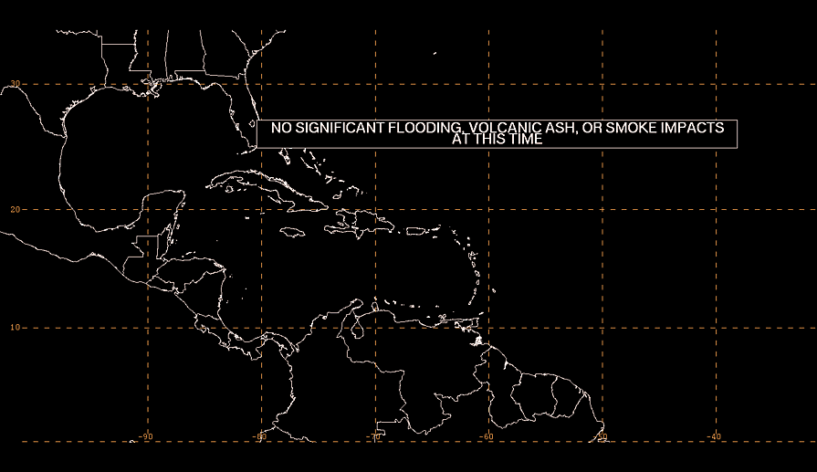
continues to bring a threat of flooding in the islands. See local
weather advisories for more information.
A weak pressure pattern across the Caribbean result in moderate to
locally fresh easterly winds in the central and eastern portions
of the basin, lee of Cuba and Gulf of Honduras. Seas in these
waters are 3-5 ft. Elsewhere, light to gentle winds and slight
seas prevail.
For the forecast, high pressure centered over the western Atlantic
is supporting moderate trades over the central and SE Caribbean.
Moderate to locally fresh E winds will pulse nightly in the
Windward Passage early this week. Late this week, SE winds will
increase to fresh in the Gulf of Honduras and adjacent NW
Caribbean.
...ATLANTIC OCEAN...
A 1024 mb high pressure system between Cape Hatteras and Bermuda
dominates the SW North Atlantic, west of 55W. Moderate to locally
fresh easterly winds are noted south of 27N and west of 60W. Seas
in the area described are 4-6 ft. Elsewhere west of 55W, moderate
or weaker winds and moderate seas are prevalent.
Farther west, a cold front extends from 31N37W to 22N55W. Widely
scattered showers are evident ahead of the front. Moderate to
fresh southerly winds are evident ahead of the front to 30W and
north of 25N. Seas in these waters are 4-7 ft. Behind the front
to 55W and north of 26N, moderate to fresh westerly winds and seas
of 5-8 ft prevail.
The remainder of the central and eastern Atlantic is dominated by
a weak high pressure system near Madeira. Moderate to locally
fresh easterly winds and seas of 4-7 ft are found south of 15N and
west of 30W. The pressure gradient between the ridge and lower
pressures in NW Africa support moderate to locally strong
northerly winds north of 20N and east of 22W, with the strongest
winds occurring off Western Sahara and Morocco. Seas are 4-7 ft in
these waters. Elsewhere in the tropical Atlantic, moderate or
weaker winds and moderate seas are evident.
For the forecast west of 55W, a weak cold front has devolved into
a surface trough that is noted from 25N55W to 25N70W. High
pressure building north of the area in the wake of the front will
support moderate to fresh trade winds south of 24N through mid
week. Meanwhile, large N swell associated with a gale center well
north of the region over the north central Atlantic will move
through the waters north of 27N and east of 60W Mon night into Tue
night. Looking ahead, expect moderate to fresh SW winds off
northeast Florida starting Wed as the high pressure shifts
southeast ahead of a front moving off the Carolinas.
$$
|
