NWS National Hurricane Center Miami FL
1805 UTC Thu May 2 2024
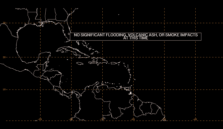
Tropical Weather Discussion for North America, Central America
Gulf of Mexico, Caribbean Sea, northern sections of South
America, and Atlantic Ocean to the African coast from the
Equator to 31N. The following information is based on satellite
imagery, weather observations, radar and meteorological analysis.
Based on 1200 UTC surface analysis and satellite imagery through
1740 UTC.
...MONSOON TROUGH/ITCZ...
The monsoon trough passes through the coastal plains of Guinea
near 10N14W, curving to 06N16W and 03N30W. The ITCZ continues
from 03N30W, to 01N35W, 02N43W, to 01N50W. Precipitation:
disorganized widely scattered moderate to isolated strong is from
08N southward from 60W eastward.
...GULF OF MEXICO...
An upper level trough is generating cyclonic wind flow between
60W and 90W. Precipitation: isolated moderate to locally strong
is in the remainder of the Atlantic Ocean that is from 60W
westward. Persistent heavy rainfall for the rest of the week is
possible in this part of the Atlantic Ocean. A surface trough is
along 31N79W, to Lake Okeechobee in south Florida, to the Straits
of Florida. Precipitation: isolated moderate is within 60 nm on
either side of the trough from 28N northward.
A NW-to-SE oriented interior Mexico surface trough extends from
the Texas Big Bend, to 24N100W. to the northern sections of the
Isthmus of Tehuantepec of southern Mexico, western Guatemala.
Moderate to fresh E to SE winds span the entire area. Moderate to
rough seas are from 22N to 24N between 90W and 92W. Slight seas
are from 88W eastward, and from 26N northward between 88W and 90W.
Moderate seas are in the rest of the Gulf of Mexico.
Surface ridging continues to dominate the Gulf waters. The
pressure gradient between the ridge and lower pressures in Texas
and Mexico will continue to tighten, and fresh to strong pulsing
winds in the western half of the Gulf will prevail through Fri.
Moderate or weaker winds will prevail in the eastern half of the
basin. Winds will pulse to strong speeds nightly near and to the
NW of the Yucatan Peninsula due to local effects induced by a
thermal trough.
...CARIBBEAN SEA...
A flat and weak surface pressure gradient is in the Caribbean Sea.
A 1020 mb Atlantic Ocean high pressure center is near 32N67W.
An upper level trough is generating cyclonic wind flow between
60W and 90W. A surface trough is along 10N76W 15N80W 20N81W.
Precipitation: isolated moderate to locally strong is from 16N to
20N between 60W and 80W. Persistent heavy rainfall for the
rest of the week is possible in this part of the Caribbean Sea.
Flash flooding in inland low lying areas is possible also.
Mostly fresh to some moderate SE winds are from 70W eastward,
and in the Windward Passage. Moderate or slower winds are in the
central one-third of the area. Moderate easterly winds, and slight
seas, are from 80W westward. Moderate seas are from 80W eastward.
The 24-hour rainfall totals in inches, for the period that ended
at 02/1200 UTC, are: 1.40 in Montego Bay in Jamaica; 0.19 in San
Juan in Puerto Rico; and 0.04 in Guadeloupe; and 0.03 in Freeport
in the Bahamas. This information is from the Pan American
Temperature and Precipitation Tables/MIATPTPAN.
Surface ridging N of the area supports moderate to fresh easterly
trade winds over the central and eastern Caribbean. The ridge is
expected to slide eastward and weaken today, reducing the areal
coverage and limiting these winds to the SE Caribbean by this
evening. Scattered showers and thunderstorms currently affecting
eastern Cuba, Hispaniola, and adjacent passages will expand in
coverage today supported by a surface trough extending along 79W.
The pressure gradient between this feature and the ridge will also
support moderate to fresh NE winds in the lee Cuba, NW Caribbean
and the Windward Passage tonight into Sat night. Gentle to
moderate trades are expected basin-wide the remainder forecast
period, except for fresh winds in the south- central Caribbean.
...ATLANTIC OCEAN...
An upper level trough is generating cyclonic wind flow between
60W and 90W. Precipitation: scattered moderate to widely
scattered strong is from 20N northward between 60W and 70W.
Isolated moderate to locally strong is in the remainder of the
area that is from 60W westward. Persistent heavy rainfall for the
rest of the week is possible in this part of the Atlantic Ocean.
The 24-hour rainfall totals in inches, for the period that ended
at 02/1200 UTC, are: 0.03 in Freeport in the Bahamas. This
information is from the Pan American Temperature and Precipitation
Tables/MIATPTPAN.
A surface trough is along 31N79W, to Lake Okeechobee in south
Florida, to the Straits of Florida. Precipitation: isolated
moderate is within 60 nm on either side of the trough from 28N
northward.
A 1020 mb Atlantic Ocean high pressure center is near 32N67W.
Broad surface anticyclonic wind flow is to the west and northwest
of the 31N37W 27N46W 25N56W cold front, until 75W. A NE-to-SW
oriented surface trough is about 180 nm to the southeast of the
cold front, between 40W and 54W. Precipitation: isolated moderate
is in the remainder of the Atlantic Ocean from 15N northward
between 30W and 60W. Moderate to rough seas are to the north of
the cold front.
Moderate to rough seas are from 10N to 16N between 50W and 60W.
Moderate to rough seas, and fresh to strong NE winds, are from
27N northward from the Canary Islands eastward. Moderate seas are
in the rest of the Atlantic Ocean. An exception is for slight seas
from 26N northward from 70W westward, away from the Bahamas.
Fresh to moderate NE winds are to the south of the line:
27N73W 25N62W 22N49W 22N36W 27N22W. Fresh to moderate S and SW
winds are from 24N northward between 30W and 40W. Moderate or
slower winds are in the remainder of the Atlantic Ocean.
A surface ridge extends across the SW Atlantic and supports
moderate to fresh easterly winds S of 25N, including the
approaches to the Windward Passage. The ridge is expected to slide
eastward and weaken today, while a surface trough develops just N
of Hispaniola. The pressure gradient between the ridge and the
trough will support pulsing strong east to southeast east of the
trough, and moderate to fresh northeast to east winds west of the
trough. The trough will also amplify the area of showers and
thunderstorms currently affecting the southern Bahamas and the
Great Bahama Bank. The trough is forecast to become a weak low,
which will track northeastward Fri through Sat, and open back into
a trough while exiting the area on Sun.
$$
|
